Central Valley (California)
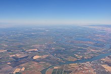
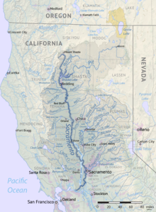
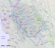
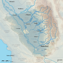
Flat valley that dominates central CaliforniaThe Central Valley is a broad, elongated, flat valley that dominates the interior of California, United States. It is 40–60 mi (60–100 km) wide and runs approximately 450 mi (720 km) from north-northwest to south-southeast, inland from and parallel to the Pacific coast of the state. It covers approximately 18,000 sq mi (47,000 km2), about 11% of California's land area. The valley is bounded by the Coast Ranges to the west and the Sierra Nevada to the east.
Read article
Top Questions
AI generatedMore questions
Nearby Places

California Central Valley grasslands
Temperate grasslands, savannas, and shrublands ecoregion in California, United States
Dairyland, Madera County, California
Unincorporated community in California, United States
Tyler, California
Former settlement in California, United States

Lake Corcoran
Former lake in the state of California, United States


